Master's thesis / 2026
Quadruped Exploration
An autonomy stack that maps, chooses goals, plans routes, and walks a Boston Dynamics Spot through unknown, uneven terrain.
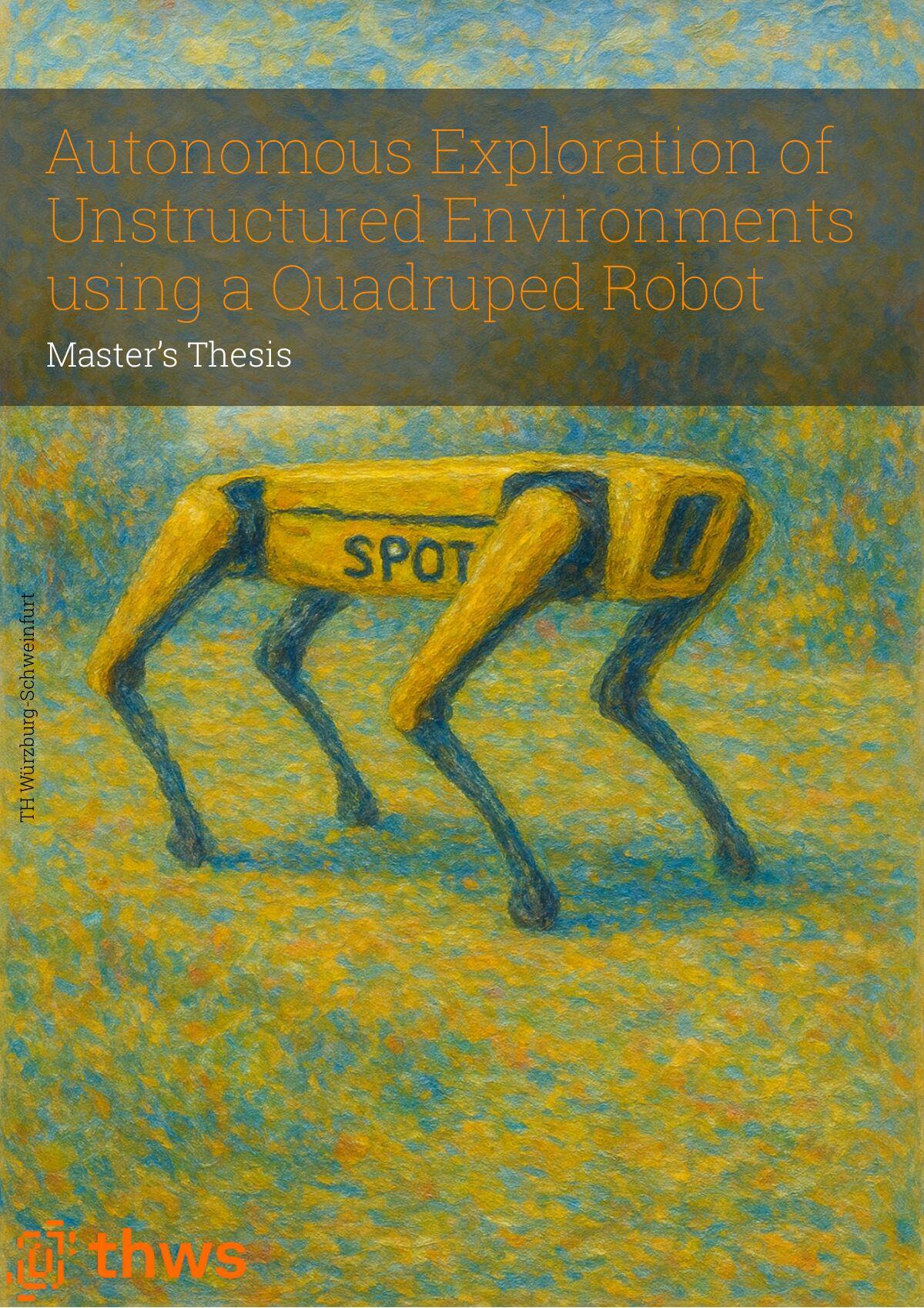
Overview
An exploration robot must map what it has seen, decide where to look next, plan a route there, and walk it. On uneven ground these tasks depend on each other: a goal is only useful if the robot can stand on it, and a map that marks passable terrain as an obstacle hides the ground exploration needs.
The thesis builds and evaluates that stack on a Spot carrying a rotating LiDAR and five body depth cameras, using RTAB-Map for drift-corrected localization and nvblox for GPU volumetric mapping. Evidence comes from the physical robot, a Webots maze, Isaac Sim dune and ramp worlds, and Isaac Lab locomotion training.
- 5
- engineering contributions
- 99.6%
- scored area mapped by cameras alone
- 112 / 118
- goals accepted in physical replay
Approach
- 01
Map the ground
A sensing comparison selected depth-camera integration as the dense input to nvblox: the camera-only map covered 99.6% of the scored area against 88.9% with LiDAR fused in. A gated mapper correction keeps the ground above dune crests visible to the goal layer without freeing a 0.40 m curb.
- 02
Choose reachable goals
True-3D frontiers are snapped to the support surface and checked for footprint, walkability, reachability, and headroom before publication. In replay of a physical recording, validator-accepted goals rose from 30 of 40 to 112 of 118. A frontier-seal rule removes residual frontiers above mapped floor so exploration can terminate.
- 03
Route and walk
A terrain-following projection feeds 2D planners and a predictive sampling controller. A blind rough-terrain policy, trained in Isaac Lab and refined through four correction stages, sits behind Spot's existing velocity-command interface.
Outcome
The integrated stack kept a map usable for frontier exploration on the physical robot and in both simulators, and on dune terrain an independent validator accepted all 12,396 goal publications it rechecked. An actuator fault ended hardware access before the final experiments, so the floor-relative mapping, predictive controller, and learned policy were evaluated in simulation only.